
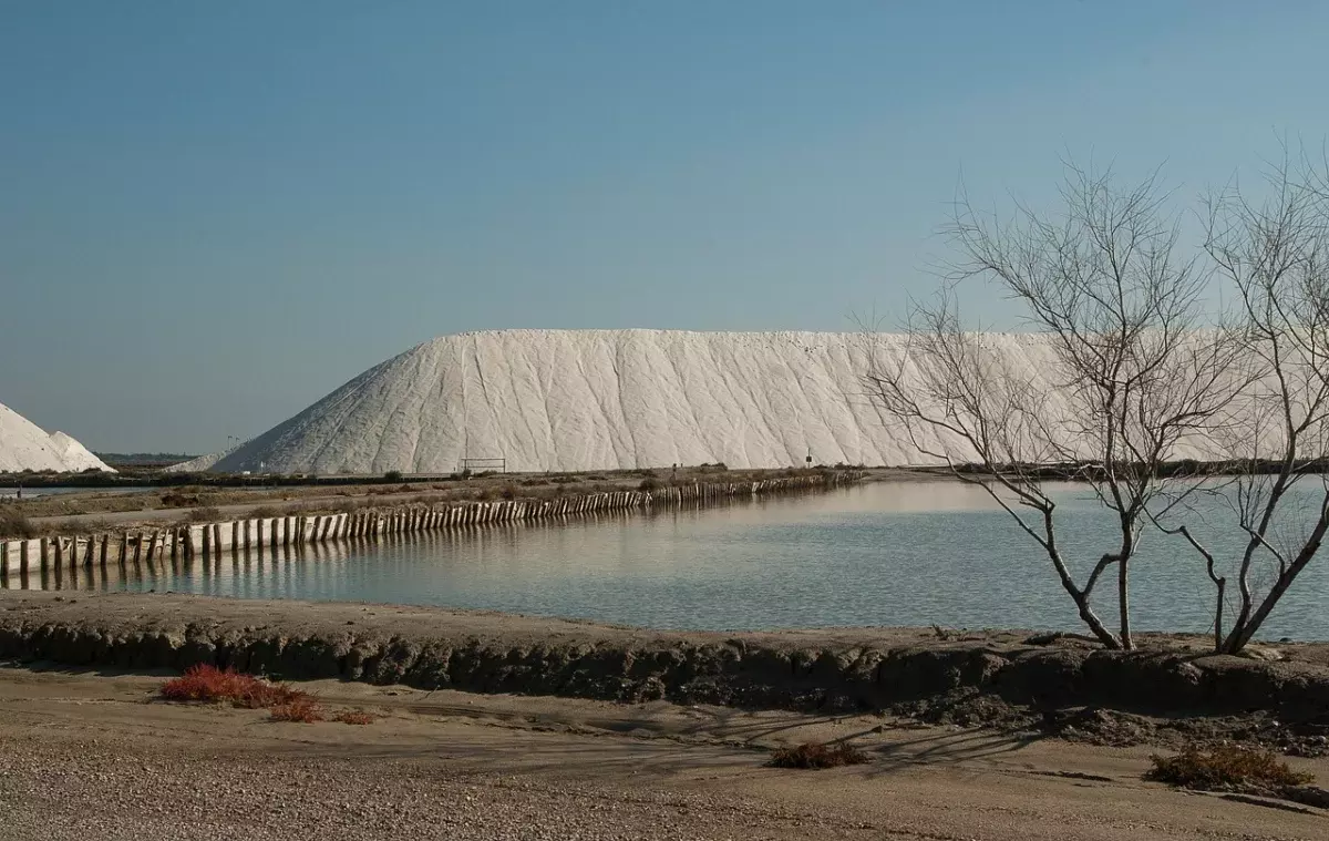
A useful Norfolk travel guide must do more than list beaches and market towns. England’s eastern edge rewards travellers who understand its geography: tides control access, fragile habitats restrict movement, rural distances complicate transport, and apparently modest villages often contain layers of maritime, agricultural and architectural history. The county’s appeal lies not in a single landmark but in the relationship between golden sand, salt marsh, open water, medieval streets and flint-built settlements.
Situated within East Anglia, Norfolk is often marketed as a peaceful escape. That description is accurate but incomplete. The landscape is dynamic rather than passive: shorelines erode, marshes flood, birds migrate, fishing traditions adapt and visitor pressure concentrates around a few celebrated locations. Exploring well therefore requires selective planning, seasonal awareness and a willingness to travel slowly.
Why Norfolk Feels Different
Norfolk’s defining characteristic is exposure. The North Sea, broad skies and low-lying terrain create a sense of scale unusual in densely populated England. Coastal light changes quickly, while wind and weather can transform the same beach within hours. This is not merely visual atmosphere. It affects walking conditions, wildlife activity, sailing, road access and the practical value of clothing that can withstand rain and salt-laden wind.
The county also resists conventional sightseeing. Its strongest experiences are distributed across coast, countryside and historic settlements rather than concentrated in one compact circuit. A weekend can provide a credible introduction, but visitors attempting to combine Norwich, the north coast, the Broads and western Norfolk in two days usually exchange depth for driving.
A Landscape Shaped by Water
The internationally recognized wetland known as the Broads is frequently mistaken for untouched wilderness. In reality, many of its shallow lakes originated through medieval peat extraction and subsequent flooding. That human-made history matters because it challenges the simplistic division between natural and cultural landscapes. Today, reed beds, waterways, grazing marshes and settlements form an interconnected environment managed for navigation, conservation, farming and recreation.
Along the north coast, salt marshes and tidal creeks perform ecological work that a conventional sandy beach does not. They provide habitat, absorb wave energy and support complex food webs. Their quiet appearance can mislead inexperienced walkers: channels fill, mud is unstable and routes may become impassable as tides change. Check tide times locally and follow marked paths rather than treating open marsh as unrestricted terrain.
How to Explore the Norfolk Coast
The best answer to how to explore the Norfolk coast is to divide it into distinct landscape zones. The western coast around Hunstanton faces across the Wash and is known for broad beaches and layered cliffs. The central north coast combines dunes, pine woods, salt marsh and estate landscapes. Farther east, traditional resorts, fishing towns and erosion-prone villages reveal a coastline under more obvious physical pressure.
Holkham and Wells-next-the-Sea
Holkham is one of the county’s most photographed coastal destinations, but its scale is best appreciated on foot. The journey through pine woodland to the beach creates a deliberate transition from enclosed shade to an immense expanse of sand and sky. At high tide, however, the available beach can change substantially. Visitors should never assume that a route used in the morning will remain identical later in the day.
Nearby Wells-next-the-Sea adds a working harbour, beach huts and a compact town. Its popularity creates predictable problems: congestion, pressure on parking and crowding during school holidays. The practical strategy is straightforward—arrive early, visit outside peak summer weekends or use public transport where schedules allow. Trying to improvise parking at midday in August is not spontaneous travel; it is poor planning.
Blakeney, Cley and the Salt Marshes
Blakeney and Cley-next-the-Sea offer a more tidal, ecologically sensitive experience. Blakeney’s harbour and creek reflect centuries of maritime activity, while the surrounding marshes are central to the coast’s identity. Seal-watching boat trips can provide valuable access and environmental interpretation, but operator quality matters. Choose businesses that maintain distance from wildlife, avoid crowding animals and explain how passengers should behave.
Birdwatchers are drawn to reserves around Cley and Titchwell because Norfolk lies on important migration routes. Seasonal abundance should not be confused with guaranteed sightings. Wildlife tourism becomes irresponsible when visitors leave paths, play calls repeatedly or approach nesting areas for photographs. Binoculars and patience produce better encounters than physical proximity.
Cromer and the Eastern Coast
Cromer represents another side of Norfolk: a living seaside town rather than an idealized rural retreat. Its pier, beaches and fishing identity make it accessible to visitors who want services as well as scenery. The town is also a sensible base for travellers without cars because it has rail connections to Norwich.
East of Cromer, coastal erosion becomes impossible to ignore. Soft cliffs have always changed, but homes, roads and tourism infrastructure turn natural processes into difficult political and economic questions. Defending every section of shoreline is neither financially nor environmentally straightforward. Visitors should obey closures and recognize that cliff edges may be unstable even when no barrier is present.
Flint Villages and Historic Towns
The coast receives much of the attention, yet Norfolk’s built environment is equally distinctive. Local churches, cottages, walls and farm buildings frequently use flint, a material abundant in the region’s chalk geology. Knapped flint can produce precise decorative surfaces, while rougher cobbles create buildings whose texture changes dramatically with wet weather and low sunlight.
Burnham Market has fashionable shops and restaurants, but its polished reputation can obscure less commercial villages nearby. Walsingham offers religious history; Castle Acre combines village form with major medieval remains; and Cley’s narrow streets demonstrate why large vehicles can become a liability. The best Norfolk villages to visit are not necessarily those with the longest retail lists. Architectural coherence, walkability and connection to the surrounding landscape are more meaningful criteria.
Norwich as the Cultural Anchor
Norwich deserves more than a hurried stop before the coast. Its medieval street pattern, cathedral precinct, castle, independent businesses and covered market provide a concentrated introduction to regional history. The city’s scale also makes it practical for walking, although visitors should allow time for lanes and riverside routes rather than moving only between headline monuments.
Norwich works particularly well at the beginning or end of a Norfolk itinerary. Rail travellers can use it as a gateway, while drivers can leave the car parked and explore centrally on foot. For current cultural listings and practical information, consult the official Visit Norfolk website rather than relying exclusively on social-media recommendations.
King’s Lynn and Western Norfolk
King’s Lynn reveals Norfolk’s historic relationship with European trade. Its merchant buildings, waterfront and surviving street plan make it substantially more important than its occasional treatment as a transport stop suggests. Western Norfolk also provides access to the royal estate at Sandringham and landscapes around the Wash, giving this part of the county a different character from the resort coast.
The Broads Beyond the Holiday-Boat Image
A Norfolk Broads travel itinerary should not be limited to hiring a motor cruiser. Boats offer a valuable perspective, but paddling, walking, cycling and guided wildlife excursions can reveal quieter corners with less noise and lower fuel use. The Broads Authority publishes navigation and visitor guidance through its official website.
First-time boat users often underestimate wind, stopping distance and the effect of passing vessels. They may also treat waterside moorings as interchangeable, although facilities and availability vary. Proper instruction, conservative speed and early mooring decisions reduce stress. Alcohol and navigation are an especially poor combination on crowded waterways.
The traditional Norfolk wherry illustrates how transport, trade and landscape evolved together. Preserved examples are not decorative curiosities; they are evidence of an economy once structured around navigable water. Understanding that history makes the Broads more intelligible than viewing them solely as a recreational playground.
Planning a Norfolk Itinerary That Actually Works
Norfolk appears compact on a map, but rural roads, seasonal traffic and dispersed attractions slow journeys. Build an itinerary around one primary area per day. Three nights allow a city-and-coast introduction; five to seven nights make room for the Broads or western Norfolk without constant relocation.
Suggested Five-Day Structure
- Day one: Explore Norwich on foot, including the cathedral quarter, market and riverside.
- Day two: Visit Holkham and Wells-next-the-Sea, planning around tides and parking.
- Day three: Focus on Blakeney, Cley and a responsibly operated wildlife excursion.
- Day four: Experience the Broads by boat, paddle craft or a waterside walking route.
- Day five: Choose Cromer and the eastern coast, or King’s Lynn and western Norfolk, rather than attempting both.
When Is the Best Time to Visit Norfolk?
Late spring and early autumn often provide the strongest balance of daylight, wildlife interest and manageable visitor numbers. Summer offers warmer conditions and a fuller events calendar but brings congestion and accommodation pressure. Winter can be exceptional for birdlife, exposed walks and dramatic light, although daylight is limited and some visitor businesses reduce their hours.
No season eliminates uncertainty. A cool, windy August day may feel harsher than a calm October afternoon. Pack layers, waterproof outerwear and suitable footwear throughout the year. Beach-focused travellers should check tide tables; wildlife visitors should research seasonal movements rather than assuming every species is present year-round.
Transport, Access and Responsible Travel
A car offers flexibility in remote areas, but it is not universally superior. Norwich and Cromer are accessible by rail, and buses connect several coastal settlements, although frequencies require advance checking. Cycling can be rewarding on quieter routes, but narrow lanes, agricultural traffic and strong winds demand realistic judgment. A route that looks easy by distance may be tiring when fully exposed.
Responsible travel in Norfolk is largely a matter of respecting limits. Fragile dunes should not become shortcuts, dogs must be controlled around livestock and nesting birds, and litter bins cannot always absorb peak-season demand. Take waste away when facilities are full. Support businesses that operate throughout the year, not only photogenic venues optimized for short social-media visits.
Norfolk is most rewarding when treated as a living landscape rather than a sequence of backdrops.
Accessibility varies significantly. Historic streets may have uneven surfaces, marsh paths can be muddy, and beach access sometimes requires long walks over sand or shingle. Travellers with mobility requirements should verify parking, gradients, toilets and path surfaces with individual attractions before departure. Broad claims that a destination is
Frequently Asked Questions
How many days are needed to explore Norfolk without spending most of the trip driving?
Allow at least three to five days for a balanced introduction. A weekend is better focused on one area, such as Norwich and the Broads or Wells-next-the-Sea and Holkham. Combining the north coast, western Norfolk, Norwich and the eastern Broads in two days leaves little time for walks, tides, wildlife or historic towns.
Why should walkers check tide times even when following a familiar coastal route?
Tides can alter beach width, fill creeks and cut off sections of salt marsh surprisingly quickly. A route that is accessible in the morning may become unsafe or impassable later. Check local tide tables, remain on marked paths and allow extra time rather than relying solely on maps or previous visits.
Can Norfolk be explored effectively without a car?
Yes, but the itinerary must be selective. Norwich works well as a rail and bus base, while some popular coastal towns and Broads settlements have public transport links. Rural services may be infrequent, especially on Sundays or outside summer, so check return times carefully and avoid planning multiple distant areas in one day.
Are the Norfolk Broads natural lakes, and does their origin affect how visitors experience them?
Many Broads were created when medieval peat workings flooded, so they are both cultural and ecological landscapes rather than untouched wilderness. This history explains the close relationship between waterways, villages, farming and navigation. Visitors should respect boating rules, conservation zones and reed-bed habitats while recognising that active management helps preserve the area.
What is the best season for avoiding crowds while still enjoying Norfolk's landscapes?
Late spring and early autumn often provide a useful balance of longer daylight, active wildlife and fewer visitors than peak summer. Winter offers dramatic skies and birdwatching but brings stronger winds, shorter days and reduced services. Whatever the season, pack waterproof layers because exposed coastal conditions can change rapidly.
Is it safe to walk directly across Norfolk's salt marshes?
Open salt marsh should not be treated like ordinary grassland. Deep mud, hidden channels and fast-rising tides can make unmarked crossings dangerous, even when the terrain appears calm and level. Use designated paths, follow local signs and seek current advice if flooding, storms or unusually high tides are forecast.