UN Endorses New Map Showing Africa’s Size More Accurately
Frequently Asked Questions
What does it mean that the UN endorsed a new map showing Africa’s size more accurately?
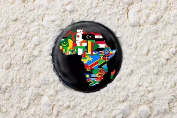
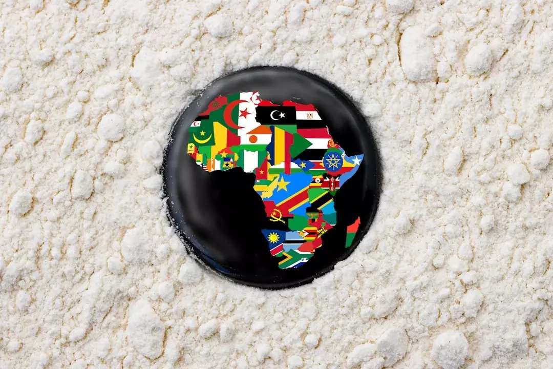
It means the UN has approved updated cartographic guidance for how Africa’s land area is represented on world maps. Many common projections distort distances and sizes, especially away from the equator. A new approach aims to present Africa’s relative size in a way that better reflects how large it is in reality, improving how people visualize geography.
Why do many existing world maps make Africa look smaller than it really is?
Most world maps use map projections that preserve certain features (like angles) but distort others (like area). Depending on the projection, regions near specific latitudes can appear larger or smaller. Africa’s shape and area can be affected by how lines of latitude and longitude are transformed, leading to a persistent “visual bias” in textbooks and media.
Does the new UN map change Africa’s actual borders or territory?
No. Endorsing a new map is about representation and projection, not geopolitics. Borders and sovereign boundaries are determined by treaties and international agreements, not by map-making techniques. The geographic land area stays the same; only the way it’s drawn on a flat surface is adjusted to reduce distortion.
What problem does changing the map projection solve for everyday readers?
It helps correct misunderstandings about scale. When a continent is consistently shown smaller than it is, it can affect how people perceive distances, population distribution, and the logistics of travel, trade, and humanitarian work. A more accurate depiction also supports better education by aligning what students see with the real proportions of the world.
How will this affect school geography, news visuals, and other public information?
In practice, it can influence the graphics and standards that publishers and organizations use for world maps. If map makers adopt the endorsed guidance, future atlases, classroom materials, and dashboards may display Africa with less area distortion. The goal is to make public information more consistent and accurate, especially in contexts where scale matters.
If map projections still involve trade-offs, is “more accurate” always the same as “perfect”?
No. Any map projection involves trade-offs: you can’t preserve area, shape, distance, and direction all at once when moving from a globe to a flat page. “More accurate” typically means reduced distortion for a specific goal, such as area representation. The endorsed update is meant to improve how size is perceived, not eliminate every limitation.